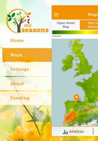


MySeasons app for iPhone and iPad
Developer: Jonas Eberle
First release : 31 Oct 2015
App size: 13.57 Mb
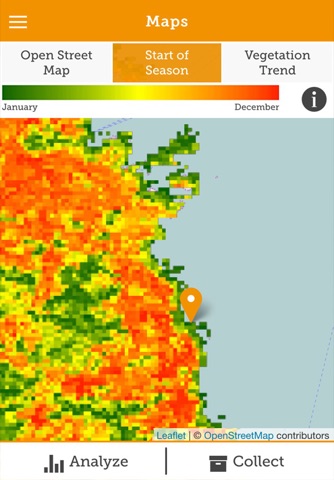
Earth Observation satellites continuously observe the annual and inter-annual dynamics of the Earths vegetation phenology - an important variable characterizing plant traits and indicating environmental change. As a key Essential Biodiversity Variable metrics like the start and duration of the growing period provide valuable information to environmental experts, scientists and citizens.
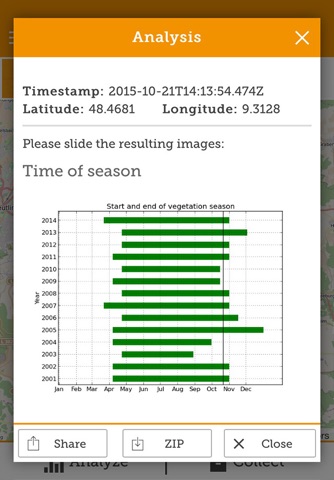
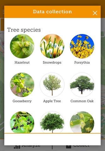
Satellite data on environmental change are freely available on global level and are integrated in the open data initiative of the European Commission and the Group on Earth Observation (GEO). The MySeasons App is part of the MyGEOSS project on innovative apps in environmental and social domains and addresses the mobile integration of optical satellite time series data for vegetation phenology monitoring. Users are invited to browse a 15 years global archive of satellite data ‐ derived from NASAs Moderate Resolution Imaging Spectroradiometer (MODIS) onboard TERRA/AQUA for individual phenological monitoring purposes. MySeasons also integrates crowed sourcing of phenological observations by the individual user. Both - crowed sourced observations by the citizen scientists and satellite-derived phenological metrics can be analyzed and collected to increase the understanding on global environmental change.
Users of MySeasons make use and support the land and climate change observation services of the European Unions Earth monitoring programme Copernicus. The mobile application allows to use time series of the Enhanced Vegetation Index (EVI) for analyzing the start, length and end of the growing season, and long term vegetation trend analyses. With the app users can participate in building and establishing an in-situ database for phenological information and compare their individual observations with satellite measurements. The user can explore thematic maps related to phenology and have access to a 15 year time series of global vegetation dynamics.
The application was designed and developed by the Department for Earth Observation of the Friedrich-Schiller-University Jena, Germany. The satellite data are provided by the Land Processes Distributed Active Archive Center of the United States Geological Survey (USGS) and the National Aeronautics and Space Administration (NASA) and is being accessed through the Google Earth Engine. Phenological metrics are derived using the TIMESAT software, developed by Lund University.